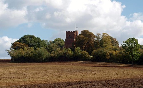
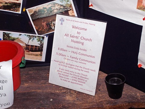
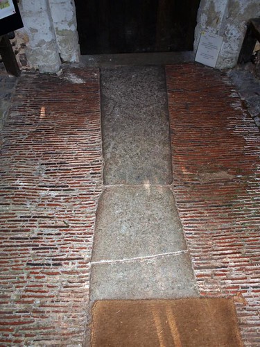
I knew, because of its hidden location, that it would be locked but was delighted when I, after I'd taken exteriors (difficult because of the trees), entered the porch to find a note explaining how to open the door. After struggling for a while with the latch, without success, I noticed a sign apologising that the church was locked during the week.
This was disappointing since the exterior was good and the porch floor promised an interesting interior but having expected it to be locked I was mentally prepared for disappointment, also it was entirely possible that the floor was the highlight, however, Mee suggests otherwise.
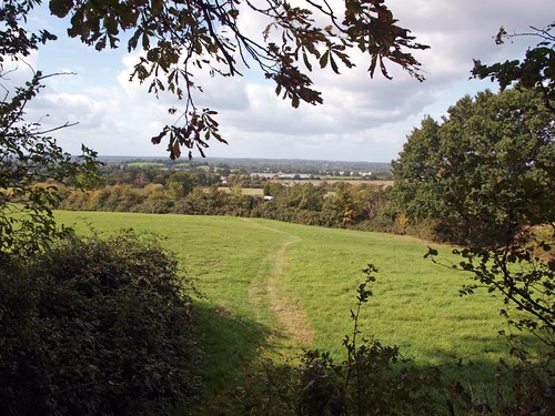
Slightly exasperated I enjoyed the view towards Broxbourne, this is after all a lovely part of Essex, and left in pursuit of my original main target of the day, Thundingbridgebury.
ALL SAINTS. Norman nave with rear-arch of one window. C15 N aisle with arcade piers of the familiar four-shaft-four hollow type where capitals are introduced only for the shafts. The arches are wave-moulded. The timber S porch is also of the C15. The floor is made of tiles set closely on end. W tower of red brick with blue diapers, diagonal buttresses, battlements and a higher stair-turret: early C16. - FONT. Perp, octagonal with quatrefoils carrying shields. - FONT COVER. Plain, ogee-shaped with a finial; C17. - CHEST. Oblong, with flat lid, heavily iron-bound; ascribed to the C14. - PLATE. Paten of 1817; Almsdish given in 1818. - MONUMENT of 1823, by T. Hurling (the usual female figure by an urn).
NAZEING. Spread over the low hills above the valley of the Lea, it has many lovely scenes to show us. There is a breezy common of 400 acres, groups of pretty cottages, and, away on a bluff, the church lying in a sacred spot with noble views of Hertfordshire. A bold tower dominates the scene, and high up its turret is a sundial oddly inscribed with its exact position on the map of England: Latitude 51 degrees 32 minutes[1]. The tower is 16th century, the sundial 18th.
A 16th century wooden porch shelters a 700-year-old doorway cut through the thick wall of Norman masonry. The Norman arches of two of the original windows are by the door, and facing them is the arcade of four bays and an aisle added in the 15th century, when the chancel was made new. About this time the steps were cut in the wall up to the rood beam, whose sawn-off end is clearly visible. The old nail-studded door to the steps is still here.
One or two panels from the old screen have been fixed to two bench-ends remarkable for the carving of the gruff and humorous faces springing out from them; and there are other bench-ends with poppyheads behind the font, which came here with them in the 15th century. An extraordinary ironbound chest is 600 years old; it has a great lockplate, and it is thrilling to think that it may have held documents sealed by our last Saxon king, for Harold owned Nazeing and gave it to the monks of the abbey of Waltham.


No comments:
Post a Comment